![]()
The origins of the first plague pandemic have always been something of a mystery. The plague is first reported in mid-July 541 at the Egyptian port of Pelusium, a secondary port on the eastern end of the Nile delta. From Pelusium it spread both east to the Levant and west to Alexandria where it hopped a ship for Constantinople and beyond (1).
There is no evidence that plague was endemic at Pelusium so the pandemic’s origin must be sought beyond the port. It is often assumed that it can not have reached Pelusium via the Mediterranean because it is not reported prior to Pelusium. In a new study Tsiamis, Poulakou-Rebelakou, and Petridou (2) examine what is known of sixth century Pelusium and the Byzantine communication network that linked it to the wider world. Without earlier references to plague or archaeological discoveries, the origins of the plague before Pelusium can not be precisely mapped, but Pelusium’s trading network can point us in the right direction.

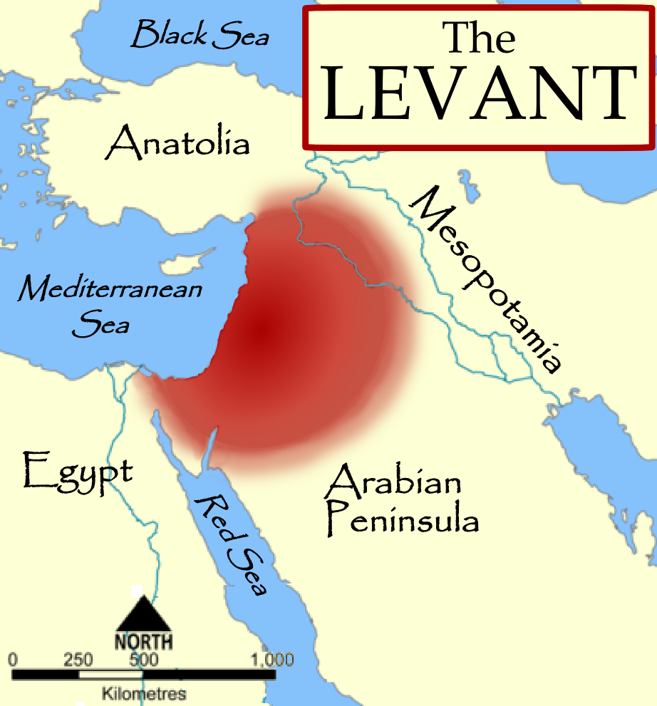
The Port of Pelusium
Pelusium is an unusual port, located in the swampy delta at least 4 kilometers from the shore of the Mediterranean even in the sixth century. Then it sat on the eastern most branch of the Nile delta; today, it is called Tell el-Farama, separated from the Nile by the Suez Canal 30 km to the west. It was connected to Alexandria and through the Bitter Lakes with the Red Sea port of Clysma (modern Suez) by a network of canals. These canals go back to the time of the pharaohs, rebuilt and renewed under the Romans/Byzantines (2).The channels depended upon water diverted from the River Nile and therefore relied on the water being high enough in the river to fill the channels. The River Nile was at its lowest depth between March and May. Waters began to rise in June peaking in September (2). As a secondary port that was not easily accessible from the sea, Pelusium’s trade was primarily food and textiles sent to Gaza and the Levant. Alexandria was reached more slowly via the channels through the delta.
These trade networks, functioning when the waters of the Nile filled the canals, are highlighted by the appearance of plague in that first year. Plague arrived in Pelusium with the rising waters in mid-July 541, traveled east to Gaza by mid-August and reached Alexandria to the west in mid-September 541. It arrived in Alexandria after the yearly grain shipments have left explaining why the plague did not reach Constantinople by sea until April or May of 542 (1). Incoming traffic to Pelusium came from the Red Sea ports.
Red Sea Traffic
Red Sea traffic was vital because of the slow and difficult movement of goods on the Nile, where traffic was seasonal at best. Strictly by the River Nile from Sudan to the Mediterranean has been estimated at 28 days (2). Shipping goods into the Red Sea and through the channels of the delta to the Mediterranean should be considerably faster.
In the sixth century, Byzantium and Persia were fighting a proxy trade war in the Red Sea, a key control point on the southern (maritime) branch of the silk/spice road. The Axumites (Ethiopians) worked on behalf of Byzantium, while the Jewish kingdom of Himyria (Yemen) was officially aligned with Persia (2). Persians controlled the Persian Gulf but not all of the Indian ocean between the Persian Gulf and the Red Sea. Christians of Himyria and some Axumites were able to make trading runs to southern India and the island of Ceylon (called Taprovani by Byzantines, modern Sri Lanka), leaving Byzantine coins in Ceylon as evidence of their trade (2). Axumites brought trade goods to the Byzantine Red Sea port of Berenike and Myos Hormos, the last major port for sea-going vessels. However, by the mid-540s these ports had to be abandoned. Berenike is last recorded in 524-525 (2). Under pressure, the Byzantine trading ports were pulled back to the Sinai peninsula.
The plague is first reported at Pelusium, which points toward the ports of Ailana (Aqaba) and Clysma (modern Suez) on the Sinai peninsula (2). From Ailana goods moved over land to the Levant. Clysma was a difficult port to navigate due to high winds but was made vital by historical events.
The city of Clsyma served as the gateway to the channel leading to Pelusium, and a frontier fort where the Byzantine ambassador to Axum was stationed. Less than ten years before the plague erupted, Duke Aratios retook the trading station on the isle of Iotabe from the Saracens in 534. This island was protected and defended from Clysma.
Although a better military installation than port, the port of Clysma was well-known in the Late Antique world. Gregory of Tours, writing in his Historia Francorum, in the late 6th century mentioned Clysma as a stopping place on the Hebrews flight from Egypt.
“The river about which I have told you flows in from the east and makes its way round towards the western shore of the Red Sea. A lake or arm of water runs from the west away from the Red Sea and then flows eastwards, being about fifty miles long and eighteen miles wide, At the head of the water stands the city of Clysma built there, not because of the fertility of the site, for nothing could be more sterile, but for its harbour. Ships which come from the Indies lie quietly at anchor here because of the fine position of the harbour, and the goods collected here are then distributed all over Egypt.” (Gregory of Tours, I.10, p. 75 (3))
Clysma was the primary port for trade with “India”, the Indian Ocean and the Red Sea. Anywhere along the Red Sea or Indian Ocean could be called “India” in ancient sources; Procopius placed the head of the Blue Nile in India, a common mistake for Ethiopia (2). For our purposes here, India should be thought of as the Red Sea and the Indian Ocean. In the 6th century, Clysma would have been a key point in the southern (maritime) silk road from the Far East bringing silk and spices.
Tsiamis, Poulakou-Rebelakou, and Petridou (2) summarize the supporting evidence for Clysma (Suez) as the site of entry for the plague into Egypt with the following facts.
- The ports of Berenike and Myos Hormos were abandoned and the Via Hadriana (the road from Bernike to the River Nile) was destroyed in the sixth century. Berenike is last reported in 524-525.
- Traffic shifts to an upgraded port and fortress at Clysma, which protects the trading post on the island Iotabe. Clysma kept a fleet of military ships for the protection of the island of Iotabe, used effectively to retake it from the Saracens in 534. It was also the station of a top Byzantine official who served as ambassador to Axum.
Tsiamis, Poulakou-Rebelakou, and Petridou (2) acknowledge that the link between Clysma and Pelusium is not completely secure. Travel along the Bitter Lakes was problematic and the channels relied on water from the Nile to function. Towns in the Sinai were building their own defenses (2). Like everywhere else along the Roman/Byzantine frontier, they were under attack from tribes from outside the empire and slowly failing. Yet Byzantine efforts to keep an ambassador to Axum and a military presence at Clysma suggests that Red Sea trade was not only still valuable to them but accessible to the Mediterranean ports. Alexandria was still the primary Mediterranean port of Egypt, but Pelusium was closer and more accessible from Clysma, so plague possibly coming via Clysma reached it first.
If we maintain the assumption that plague did not arrive at Pelusium from the Mediterranean, then it is likely that it traveled the Late Antique version of the Suez canal, then a series of channels that linked with the Bitter Lakes between Clysma (Suez) and Pelusium. To look for the origins of the first pandemic we need to look further at the Red Sea and Indian Ocean, and the maritime silk road.
References
- Stathakopoulos, D. (2004). Famine ad Pestilence in the Late Roman and Early Byzantine Empire: A Systematic Survey of Subsistence Crises and Epidemics. Birmingham Byzantine and Ottoman Monographs Vol. 9. Ashgate.
- Tsiamis C, Poulakou-Rebelakou E, & Petridou E (2009). The Red Sea and the port of Clysma. A possible gate of Justinian’s plague. Gesnerus, 66 (2), 209-17 PMID: 20405770
- Gregory of Tours, The History of the Franks. Lewis Thorpe, trans. Penguin Classics. 1974.


I noticed this blog had copied your words wholesale, as well as much of your theory. /http://www.thomasschoenberger.com/blog/
Here is a paragraph lifted from Jan 16 on the above blog, long after you published yours
Clysma was the primary port for trade with “India”, the Indian Ocean and the Red Sea. Anywhere along the Red Sea or Indian Ocean could be called “India” in ancient sources; Procopius placed the head of the Blue Nile in India, a common mistake for Ethiopia . For our purposes here, India should be thought of as the Red Sea and the Indian Ocean. In the 6th century, Clysma would have been a key point in the southern (maritime) silk road from the Far East bringing silk and spices.
LikeLike